S.F. No. 750/6, G.D. Naidu Nagar, Near KMCH, Coimbatore - 641 014.

S.F. No. 750/6, G.D. Naidu Nagar, Near KMCH, Coimbatore - 641 014.
Follow Us:

GIS for Drones
Rated 4.9 of 5

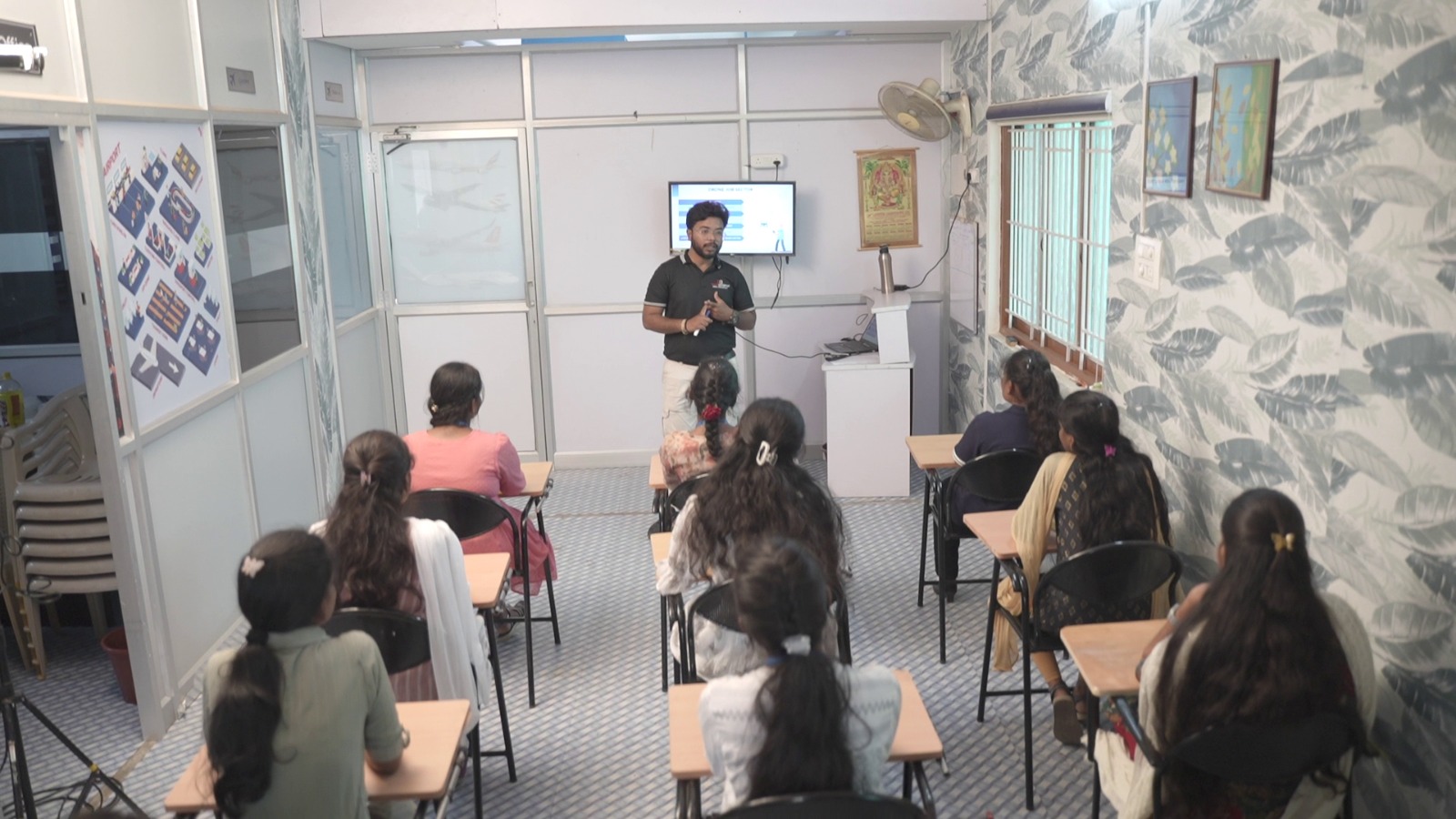
GIS for Drone Pilot Course: Discover how GIS and drone data processing may work together in this revolutionary course. Our curriculum is created to make you job-ready in the GIS domain with meticulous attention to detail, covering everything from the fundamentals of GIS to practical training on real projects. Take part in interactive workshops covering the latest sensor technologies, such as LiDAR, Visual (RGB), and


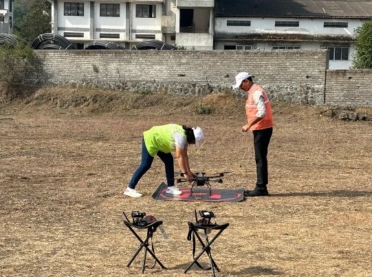
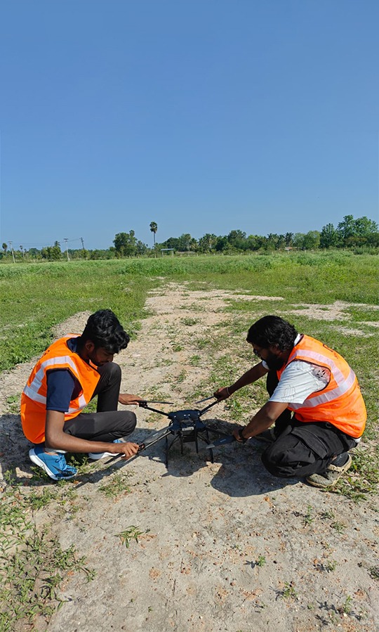
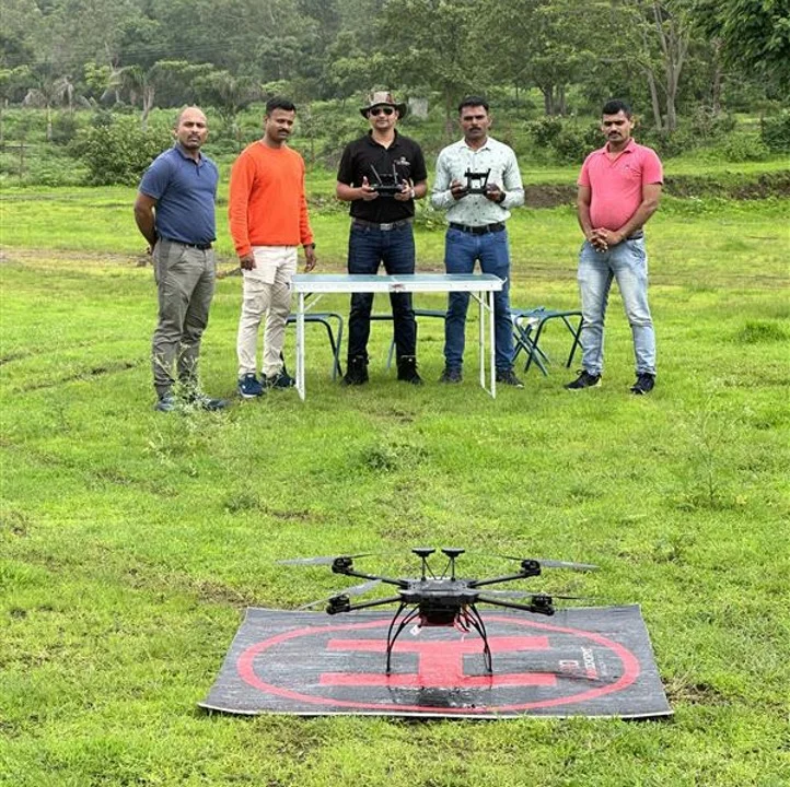
Gain hands-on experience and DGCA-aligned certification for operating small drones—equipping you for a wide range of professional drone applications.
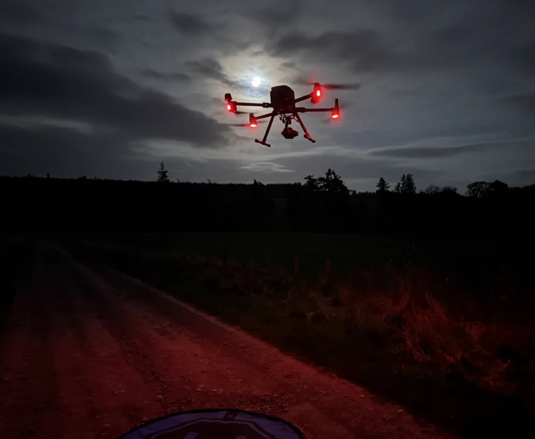
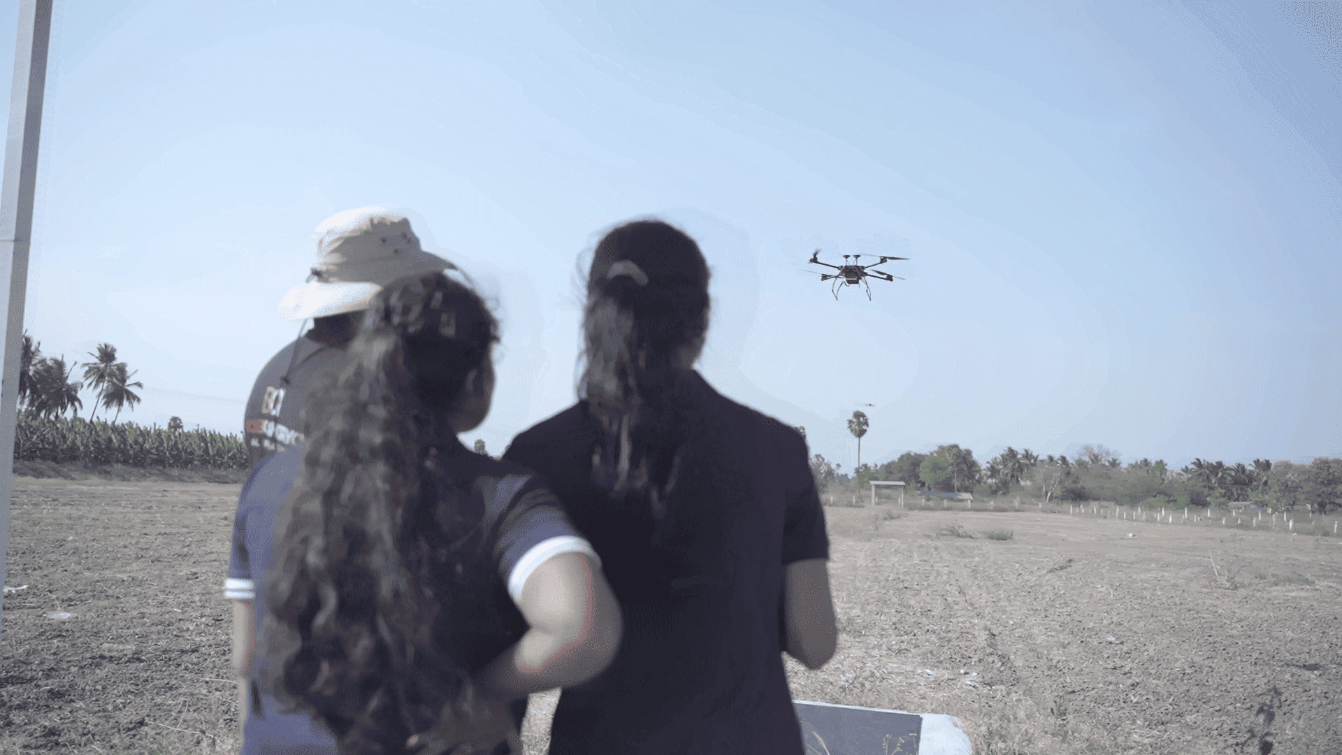
Apply Today!Join AlterAcademy, the leading Drone Training Institute in Coimbatore, Tamil Nadu, offering expert-led courses in drone building, piloting, and UAV technology. Our Drone Acharya Coimbatore Academy provides hands-on training and industry-recognized certification, helping you kickstart a career in the fast-growing drone industry. Enroll now in the best drone training course in Coimbatore and become a certified drone pilot today!
Your expertise in Drone Data Processing with GIS will be validated upon completion of the course, and you will earn a Certificate of Completion from DroneAcharya.
Gain practical experience on actual projects while learning the fundamentals of GIS and its practical applications.
Discover how to use and maximize the GIS data that is obtained with drone technology.
Learn how to use GIS software directly for real-world data processing.
Take part in engaging assignments that strengthen your knowledge and useful abilities.
Want to know more about our Drone Building Course? Send us a message!